The Metsovo Way: A Model for Mountain Resilience
How Metsovo thrives against the odds...
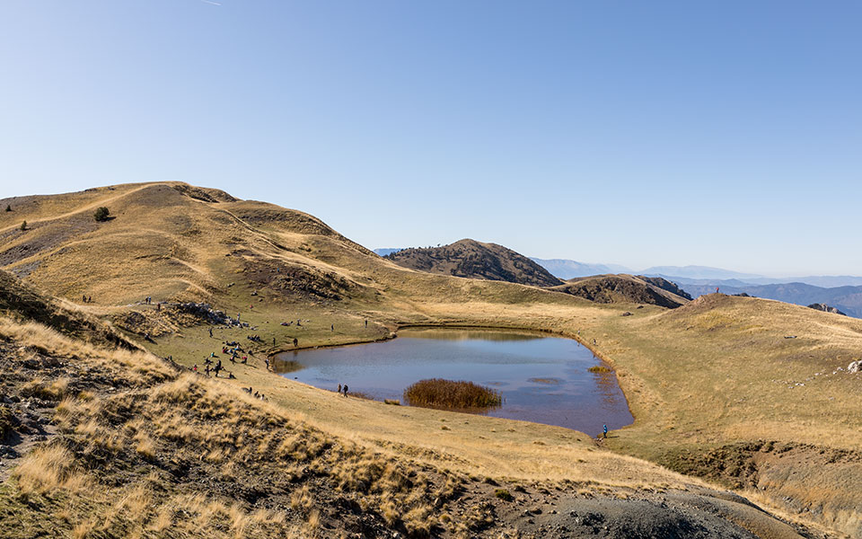
© Sakis Gioumpasis/Getty Images/Ideal Image
Although Mount Smolikas is the second highest mountain in Greece, reaching its summit does not require special climbing abilities or equipment. It is a manageable, albeit demanding and tiring, trail. The starting point for the trail to the summit is the village square of Pades, by Munti Lodge, and the first section crosses part of that village. The path then merges with a dirt road, which continues to an agricultural facility located at an elevation of approximately 1900 meters.
Drakolimni on Mt Smolikas, home to alpine tritons, is linked to many different myths.
© Lina Kapetaniou
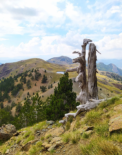
Robola pines burnt by lightning are a common sight near the top of high mountains.
© Visualhellas.gr
The pine forest becomes thicker as you ascend, and soon beech trees begin appear as you walk through meadows to reach the alpine zone. This is where the dirt road ends, and the path acquires a steeper incline. You reach a pass at an elevation of 2051 meters, where you’ll find the path coming from the Palioselli mountain refuge. The landscape is barren here, and the slopes are peppered with a few pine trees known locally as robola – some of which have been struck by lightning and turned to cinders. From this point, you’ll have views of the surrounding Pindos mountain peaks, with Gamila being one of the most impressive.
The terrain becomes rockier as you approach Drakolimni, or “Dragon Lake,” and the rising path requires legs and lungs of steel. The entire trail is fairly manageable, without any dangerous sections. The pathway itself is well-signposted. At the peak, you’ll find a cement column with a small drawer, where the logbook is stored, along with some cereal bars, left behind as presents from past hikers to their future counterparts. Everywhere you look, you’ll see high mountains as you survey the Pindos mountain range in all its glory.
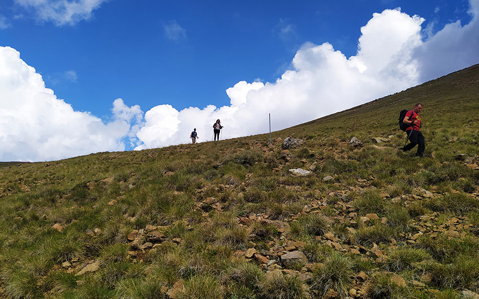
The plateaus and meadows of Mt Smolikas are used by livestock farmers. The closer you get to the summit ( at 2637 meters), the more you'll find yourself among the clouds.
© Lina Kapetaniou
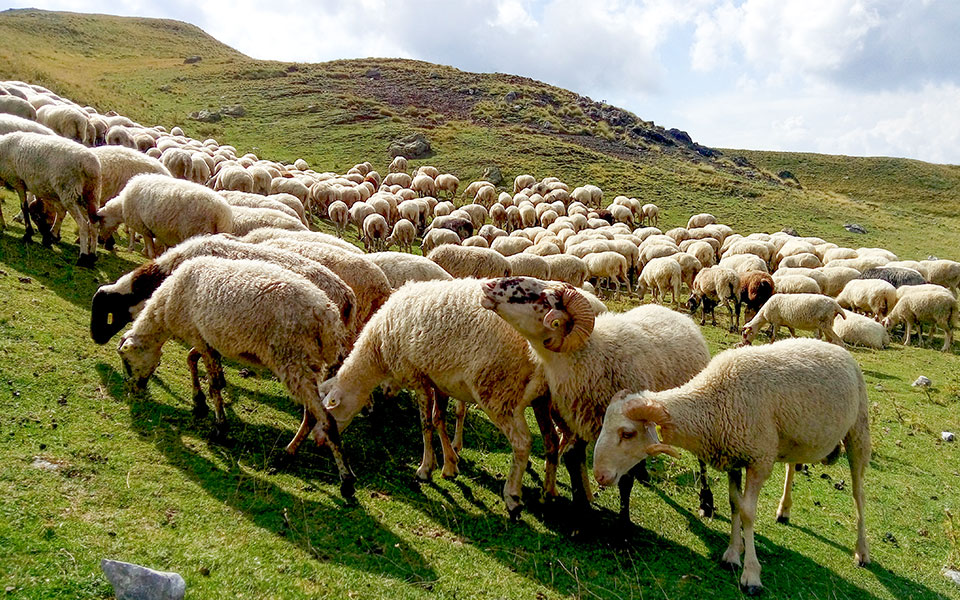
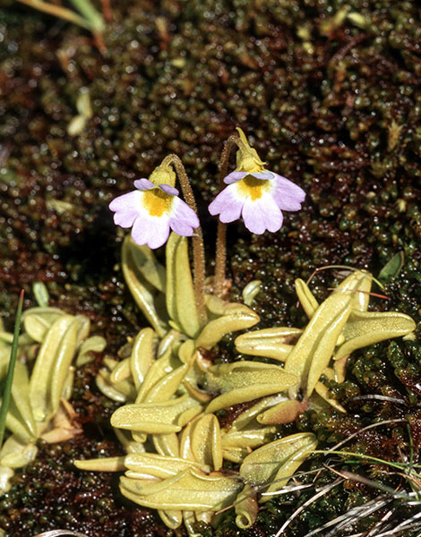
There are many different plant species on Mt Smolikas, which is why the area is a Natura 2000 preserved habitat.
© Shutterstock
As the trail is uphill and rather long, you’ll have to make a few stops. Your first extended stop should be at 1906 meters, where the dirt road ends. You’ll come across some agricultural facilities here and, in the summer months, the owner is usually there, ready to welcome you with coffee and her own farm-made cheese. You’ll also find a public water faucet here. The second major stop is, of course, at Drakolimni, some 2154 meters above sea level. Depending on the season, though especially in the spring, the lake is surrounded with flowers and verdant greenery, creating a fairytale atmosphere. Microscopic alpine tritons live in its waters and, if you look closely, you can see them in their natural habitat.
Most myths about Mount Smolikas have to do with Drakolimni. They say that two dragons lived in the dragon lakes of Smolikas and Tymfis, and they often fought each other and threw rocks back and forth at one another. Another local tale claims that one night, a large wild ram came out of the waters of Drakolimni and bleated, calling on the sheep grazing on the mountain near the lake to come closer. Once they approached, the lake swallowed the herds and, since that day, shepherds have avoided taking their livestock near the dragon lakes.
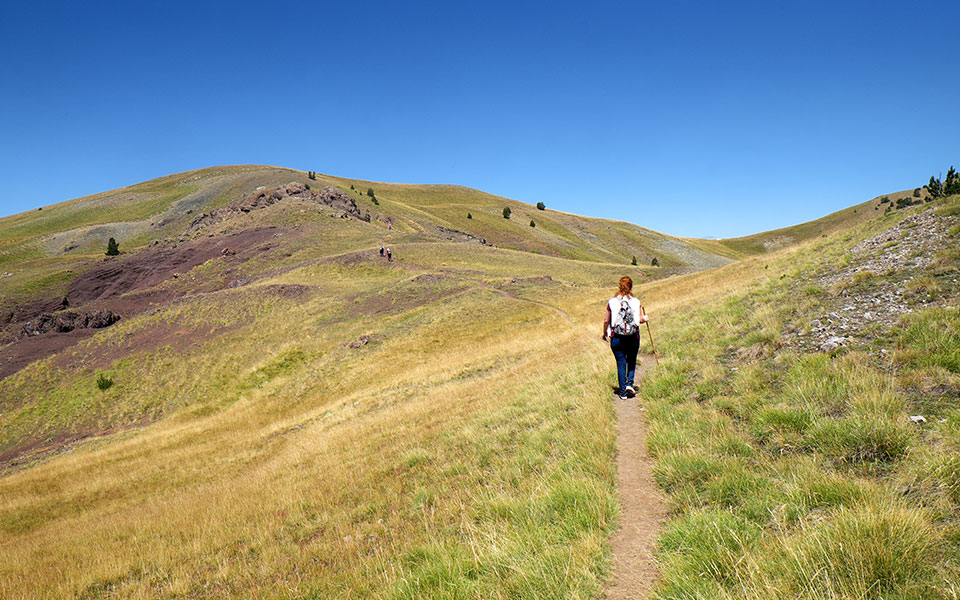
Just before the summit.
© Visualhellas.gr
You don’t to be experienced hikers or have technical climbing knowledge to reach the summit of Mount Smolikas. You just need to be in good physical shape and have strong legs and plenty of stamina. A pair of walking sticks will help you on the steep inclines, while cereal bars and a large water bottle are necessary to keep you hydrated and energized.
In order to make the trail shorter, you might choose to hike just the last part, starting from the end of the dirt road, but note that this spot is only accessible by four-wheel drive vehicles and pickup trucks. You can leave your car by the public water faucet and the agricultural facilities. Alternatively, you can set off for Drakolimni and the peak from the Palioselli mountain refuge; as you’d be starting from an elevation of 1750 meters and at a distance of only 4.5 kilometers from Drakolimni, this would be a considerable shortcut.
The distance from village of Pades to the summit of Smolikas is approximately 10 kilometers (8km to Drakolimni and another 2.5km to the top). Depending on your speed, estimate between 6-8 hours, as the trail is long and the increase in elevation is considerable (from 1150 meters to about 2637 meters).
How Metsovo thrives against the odds...
A challenging summer ride across the...
A brave history and uniquely beautiful...
Exploring Tzoumerka on foot, where architecture,...