For Us, Every Taste Is An Emotion!
In 2006, inspired by a shared...

© Shutterstock
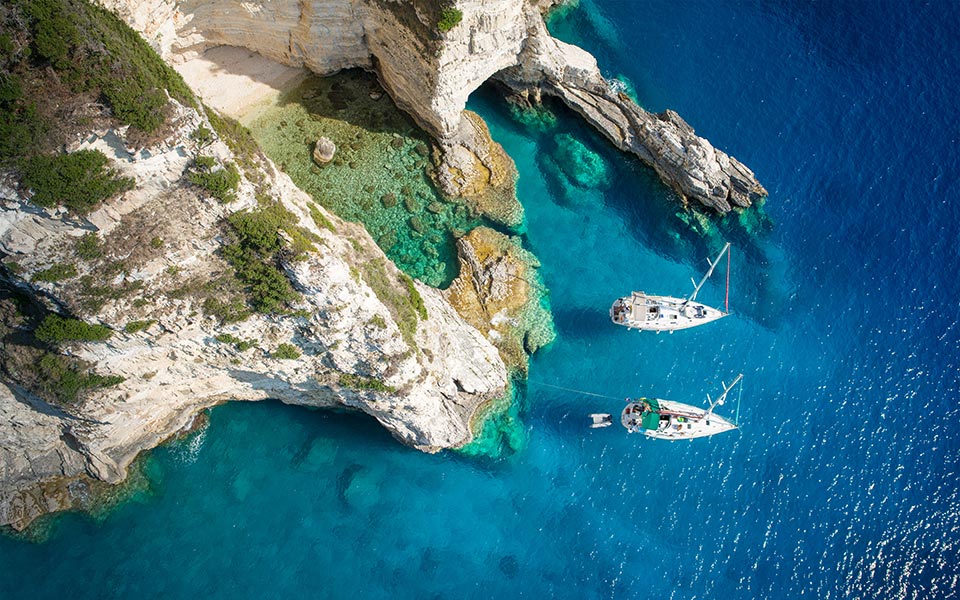
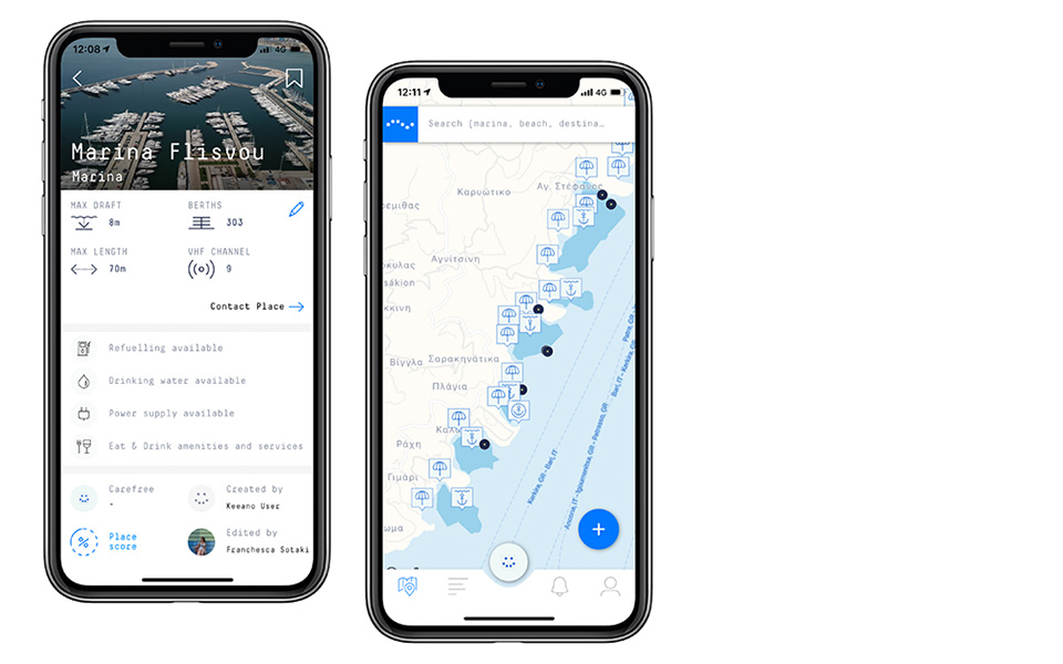
Imagine you’re on a sail boat. You’ve just taken a dip in the sea near a beach on Folegandros, or Syros, or Kimolos. With the whole Aegean within reach, you ask yourself: “Where to next?” You pick up your phone and open keeano, a global coastline guide application. The screen turns blue, showing a map of the archipelago full of tiny icons representing beaches, anchorages, shipwrecks, fishing areas, caves and rocks. Being lunch time, you switch the current mood setting from “remote” to “hungry”, and the icons change, showing all the nearby beaches and marinas where food is served. The application also tells you that the wind conditions are good for the main port of Milos, where you’ll have your pick of tavernas and restaurants.

© keeano
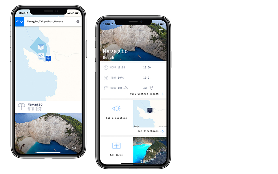
Island hopping is on everyone’s bucket list, but the research needed before such a trip can often seem daunting. New Greek app keeano makes every day of a boat trip easier, leaving you to be spontaneous by delivering you personalized information based on your personal interests, possible special needs, way of transport and mood settings, whenever you want it. All you need is an internet connection.

© Shutterstock
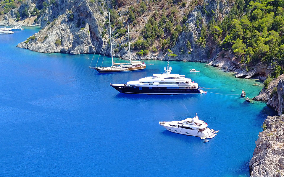
Named for the bright blue color that the sea has near the coast (Greek word “κυανό”=cyan), keeano is actually made for anyone looking for experiences along the coast, whether traveling by car (road or offroad) or by boat (sailing, yacht or fishing vessel). Beachgoers can use it to find their preferred type of beach with up-to-date information regarding jellyfish incidents and whether pets are allowed, while surfers can use it to check weather and wind directions. Meanwhile, island hoppers can also use it to find nearby mooring spots and useful information about ports. And much more. The app even rates the party mood of marinas and beach bars!

© keeano
How does it work?
Accounts come with a personalized profile, set to represent both your interests and your vehicle. After creating a profile, you can access the crowdsharing functions of the app, used to create, edit and review places, and contribute and receive live reports about emergencies as well as happenings. Additionally, through their cooperation with MarineTraffic, keeano provides information about all vessels with AIS class B transceivers, in real time, so you always know whether to expect company at a remote beach, which popular fishing spots have already been hit, and where most boats choose to anchor for the night.
Where does it work?
The app is available worldwide and users can create or edit places on any coastline. Currently, the team and community of Keeano provides information for over 21.600 beaches, 2,400 marinas, 5,000 anchorages, and 35 ports on the coastlines of the Mediterranean Sea and Caribbean, in the countries Greece, Italy, France (South), Turkey, Montenegro, Bosnia and Herzegovina, Croatia, Slovenia, Spain, Cyprus, Albania, Malta, Spain, Portugal, Bahamas, Cuba, Turks and Caicos, Jamaica, Grand Cayman, Puerto Rico, US Virgin Islands, British Virgin Islands, St Martin/St Maarten, Saint Barthelemy, Saint Kitts and Nevis, BES islands, Barbados, Antigua, Guadeloupe, Dominica, Martinique, St Lucia, Saint Vincent and the Grenadines, Barbados and Grenada.
The latest version of Keeano is available free of charge through App Store and Google Play.
Find more information about keeano here.
In 2006, inspired by a shared...
Patmos Aktis, Resort & Spa combines...
Abra Ovata is itself a rare...
A natural spa by the Athenian...