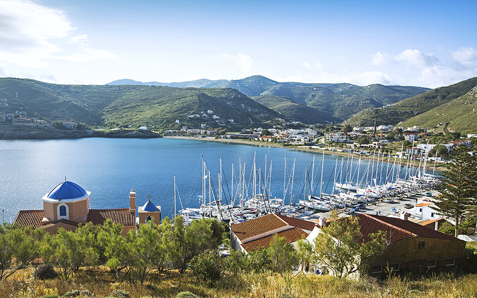
The island of Kea (or Tzia, as it is also referred to), belongs to the archipelago of the Cycades. Like so many Aegean islands, Kea has its own distinct sense of uniqueness, however what makes it particularly attractive is its proximity to Attica. From the eastern port of Lavrio (about one hour from downtown Athens), the visitor only needs approximately an hour’s boat ride before hitting this little gem of a destination.
Despite being so close to the capital, Kea has a sense of geographical detachment that is really quite remarkable. The island has also remained off the beaten track for many tourists and today is a destination mostly for yachts and for Athenians who have built and maintain pristine holiday homes.
© Vasilis Triantafyllou
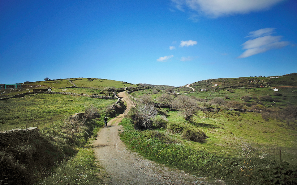
So, Kea is right across the strait from Lavrion, and yet, once the visitor sets foot on it, he or she very quickly recognizes the serenity of the place. Upon embarking on an exploration, the island slowly reveals its mountainous yet relatively unspoilt hinterland, its mostly agrarian population, its crystal clear waters, its many small, serene and untouched beaches and of course, its rugged rocky shores.
Another feature that makes Kea attractive for hikers and cyclists alike is the plethora of routes it offers. As well as offering a good number of hiking routes that take the visitor through the remnants of oak forests, cultivated terraces and stone-built traditional dwellings, the island also has a relatively extensive network of roads, many of which are tarmac.
© Vasilis Triantafyllou
The Bike Route
The cycling route recommended here is a circular one, and it offers a combination of tarmac and dirt roads that takes riders through fertile uplands with breathtaking views of the surrounding Cycladic islands, along winding coastal strips and past a few of the island’s historic monuments. The best map to use is the one issued by ANAVASI (see box).
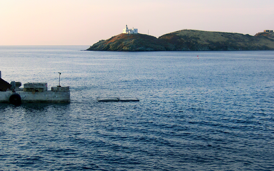
Starting off from Korissia, the island’s small but bustling port, follow the tarmac road past the large sandy beach of the port and around the bay of Agios Nikolaos, and head for the north-eastern side of the island. This part of the route takes you past the small but popular beach of Gialiskari, the quaint sailor’s harbour of Vourkari with its many fish tavernas and bars, and ends up at the semi-circular and sandy beach of Otzias, with its protected bay, and its shallow but crystal-clear waters.
ANAVASI MAPS CONTACT INFORMATION
tel./FAX.: 210.3218104, 210-3210152
email: sales@anavasi.gr, editions@anavasi.gr
© Vasilis Triantafyllou
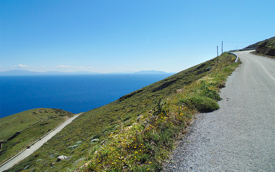
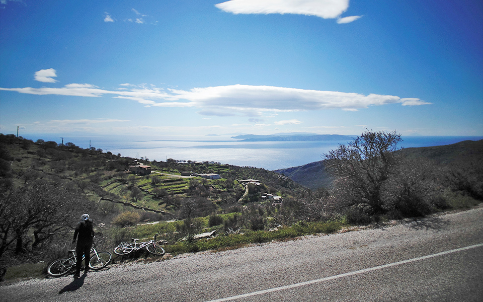
The ascent to the island’s hinterland commences immediately after Otzias. Follow the windy route up the hillside to the east of Otzias in the direction of the Kastriani monastery. Once on top of the hill, the road traverses along the north-eastern side of the island with panoramic views of the islands of Evia, Andros and Tinos. At the first tarmac junction take a sharp right. From this point on, the route assumes a southerly direction and takes the visitor through the hinterland of the island.
Continue past the junction for the bay of Spathi and the few farmsteads all the way to the main junction for Ioulida, the pristine capital town of the island, built on an amphitheatrically shaped hillside. At this point take a left and continue in a southerly direction through the heart of the island, its upland pastures and oak forests. Before continuing south, a small diversion to the ruins of the medieval citadel – chapel of Episkopi is well worth the visit.
© Vasilis Triantafyllou
A View of the Aegean
Arguably the most interesting vantage point of this part of the route is the view of the islands of Kythnos, Serifos and Sifnos, as seen from the chapel of Profitis Ilias, which is also the highest point of the ride. This is also the heart of the island’s oak forests (the island of Kea has a history of animal husbandry and tanning, thus oak trees were cultivated for the acorns and, until relatively recently, extended over a much larger part of the island.
Continue for the agrarian settlements of Astra, Ellinika and Kato Meria and all the way to Havouna. This is the southernmost settlement of the island, where there is an underlying sense of timelessness and detachment.
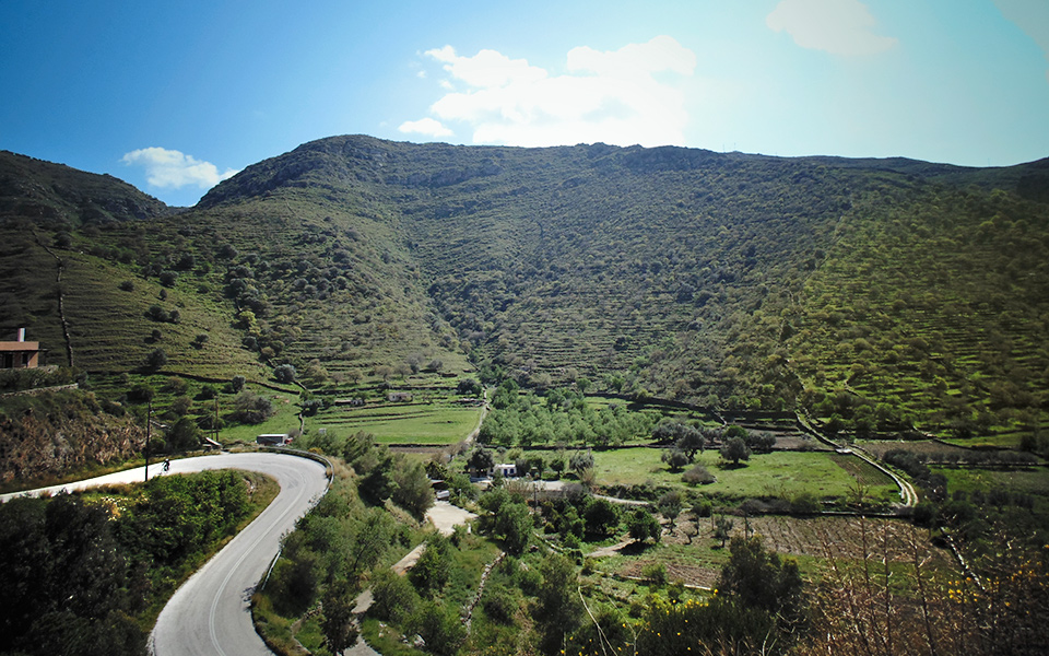
The road continues down through a valley with sparse vegetation and disused farmsteads until it reaches the western coastline of the island. Once on the waterfront continue in a northerly direction along the windy seaside road past a plethora of small and protected sandy coves until you reach Koundouros settlement, which is well known for its grand stone-clad villas. Furthermore, the refurbished windmill structures at Koundouros remind the visitor of the direction of the prevailing winds, as well as the island’s agricultural past.
© Vasilis Triantafyllou
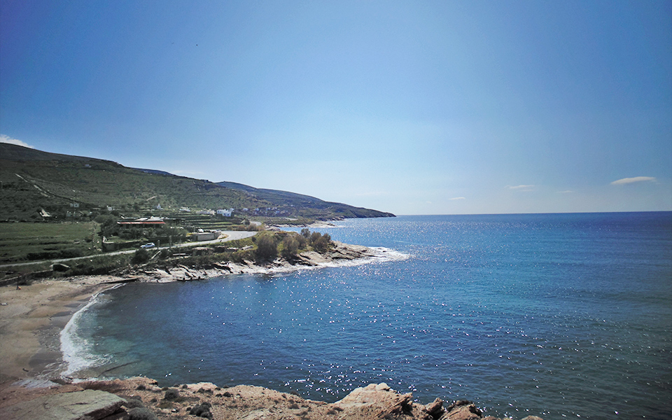
From Koundouros the road continues along the western coast in a northerly direction until it reaches the seaside settlement of the bay of Poisses, with its deep blue sea, the wide sandy beach, the many small cultivated plots, and the amphitheatric string of rocky hills surrounding it on three sides.
Once past Poisses the road starts a long windy ascent all the way up to Ioulida. On the way, it is worth making a small detour to visit the ruins of the Agia Marina monastery and of the adjacent and very impressive Hellenistic tower (currently behind protective scaffolding as part of a restoration project).
A few kilometers before the Ioulida junction the route goes past the Sklavonikolas area, yet another typical agrarian settlement of the island’s semi-mountainous hinterland. Here take a sharp left and follow the dirt road down to the Flea valley, past many deserted stone buildings that once provided temporary shelter to the farmers and shepherds.
Upon reaching the base of the valley it is worth making a refreshing stop at the Flea Spring, the largest natural source of water of the island whose flow remains constant throughout the year. A bit further down a few remaining stone cylindrical water mills still stand on either side of the Mylopotamos gorge, silent sentinels of the days when the island communities of the Aegean had to rely as much as possible on their own resources to survive.
© Vasilis Triantafyllou
Once past the Mylopotamos complex of mills and small warehouses the route meets the main road connecting Ioulida to Korissia. Take a left and head for the port. On the way there make a point of visiting the remains of the enamel factory complex, a unit that until quite recently provided enamel cutlery to many European markets. Though dilapidated, this building has great potential to be re-used given its size, location and connection to the island’s economic history.
The route described herein is approximately 58km, of which less than 10km are dirt tracks. The elevation gain is just under 2.000m. Needless to say, the island offers enough alternatives to make a smaller yet equally exciting circular route. For example, it is possible to head directly to Ioulida from Korissia without having to go to Otzias. Also, there is a quick way to reach the waterside road just before Poisses from a junction just after Kato Meria.
Check the afore-mentioned map before deciding which route is best suited for you. And happy trails!

