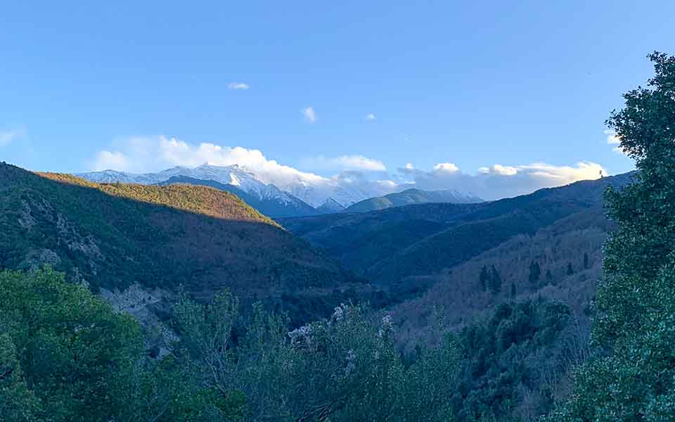
The Queen’s Rock. Karakoli. Doulou. Morna. The popular imagination runs wild inventing placenames inspired by everyday life, conquerors, historical events, and other interesting elements. Nestled between the jagged peaks of Olympus and the softer terrain of the Pierian Mountains, lies a nameless, hidden land of enviable beauty, right off the tourist trail. Leaving behind the nervous-looking hiking tourists who come here from all over the world to realize their dreams of climbing Mount Olympus, I disappear into the impressive gorges that have been intricately carved by rivers such as Mavroneri, Petriotiko, and other rivers and streams without names.
The absence of placenames might be one of the reasons why the area is not more popular with tourists. As I study its geomorphology, this diverse land stretching westward from the villages of Fotina and Petra to the plateau of the village of Aghios Dimitrios reveals its unique identity step by step.
© Lefteris Tsouris
© Lefteris Tsouris
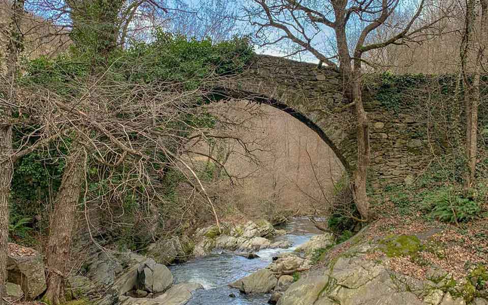
In the southern foothills of the Pierian Mountains lies a gorge that would put even Mount Olympus to shame. There, the Five Towers peak, with its incredible view, overlooks the now deserted village of Skotina, a settlement with a long industrial history, a unique stone bridge, and an older, mysterious name: Morna. On one side are the Pierian Mountains; on the other is Mount Titaros. To the south, two historic villages, Livadi and Aghios Dimitrios, continue to support the nation’s livestock farming sector.
As I head further south, I come across another majestic mountain massif, the impressive Voulgara, which some claim is part of Mount Olympus. Its streams join the well-known Xerolakki River, which, after carving hidden gorges and cave tunnels, shaped the terrain behind the village of Petra. Its powerful flow now shapes the incomparably beautiful Pass of Petra. The confluence of the streams eventually feeds into the Mavroneri River; big rivers eat little ones.
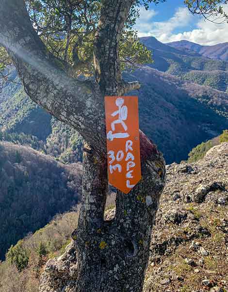
I stand beneath the climbing fields of Petra, formerly known as Lokovi. An enormous, thick-furred wildcat crosses my path casually as I walk beneath tangled oaks, evergreens, and Greek strawberry trees. Like most wild animals in the presence of humans, it immediately comes to a complete stop, turns around, and vanishes.
© Lefteris Tsouris
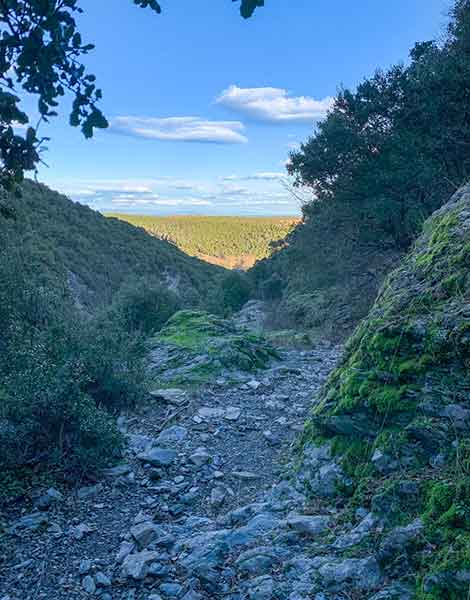
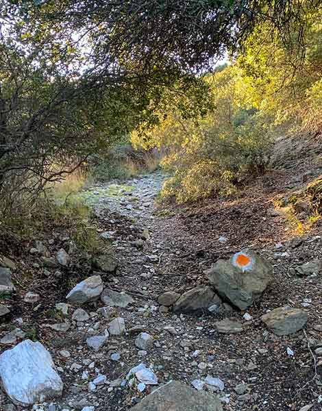
Feeling revitalized and hopeful for no particular reason, I head to the entrance of the path to Karakoli. It winds through a tunnel of low trees and dense Mediterranean vegetation, revealing a secret after several hundred meters: a wonderful, wide calderimi (traditional cobblestone path) that soon leads to an ancient stone bridge in a completely unexpected location! My mind is racing to come up with an explanation: this had to be the only road connecting the plain to Aghios Dimitrios and, eventually, to the villages of Elassona. It would have been the simplest and quickest route at this elevation. Armies, conquerors, merchants, pack animals, and even schoolchildren must have passed through here.
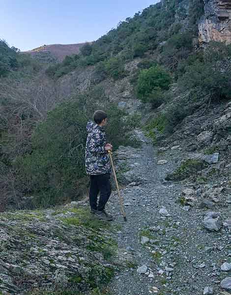
Right then and there, I had the most unexpected encounter I have experienced in the 25 years I’ve been hiking in the Greek mountains. In this region with villages and cities, with easy access, good infrastructure, and plenty of tourism, a young, carefree boy tends to his sheep. “Hello, brother! How old are you?” I ask him. “17,” he replies. “So, you must be finishing high school this year.” “No, I dropped out after middle school.” I take a deep breath and pause, surprised. “I want to be up here, with the animals,” he explains. I wish him luck and continue along the calderimi towards the Queen’s Rock.
© Lefteris Tsouris
© Lefteris Tsouris
I’m feeling conflicted, but mostly optimistic. All of this is taking place only a stone’s throw away from the tourist traps, in a hidden paradise full of toil, youth, the scent of Mediterranean herbs, breathtaking views, and plenty of space and time for contemplation and reflection.
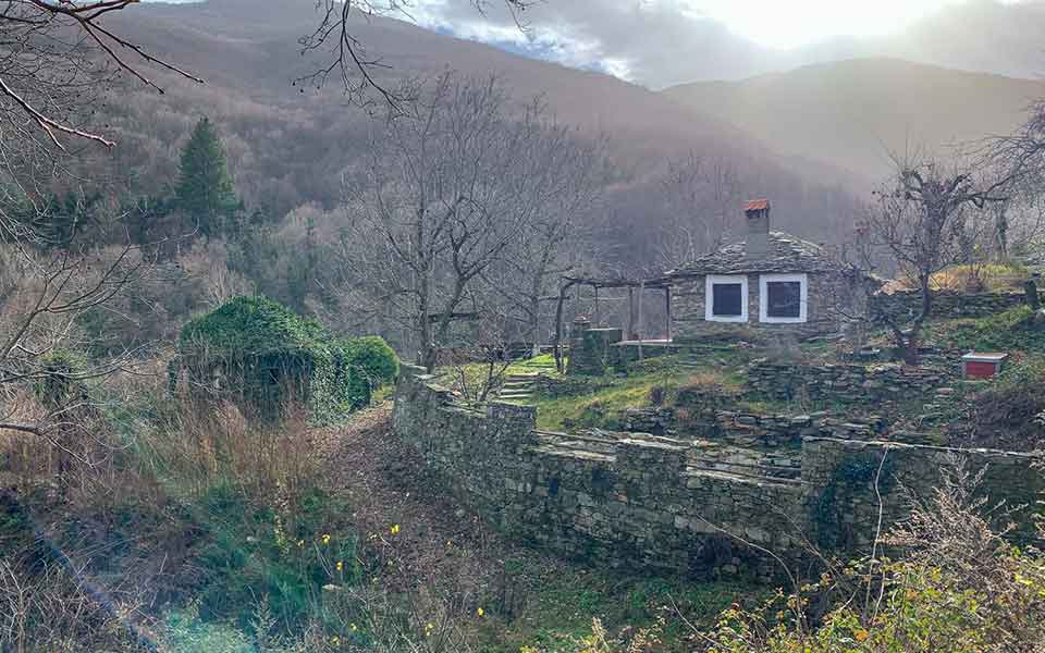
There are many short and medium-length hiking routes at lower and more accessible altitudes in the area between the Pierian Mountains and Mount Olympus. They are in poor condition, and signposting is inadequate. However, if you exercise a little caution, you will be able to travel down paths that will leave you with priceless memories. Several footpaths are in good condition, including the one leading to the Church of Panagia, in a lush, deep gorge at Aghioneri, before continuing to the Queen’s Rock, the path around the stone bridge of Morna, the path and the stone bridge near the village of Aghios Dimitrios, and many others. In addition, there are numerous hiking and recreation destinations in and around this pristine natural setting: the villages of Petra, Aghios Dimitrios (with accommodation and excellent food options all year), Fteri, and Morna; the lush forests among the region’s rivers; and the archaeological site of Spathes on the slopes of Mount Voulgara.
© Lefteris Tsouris
By diligently maintaining and promoting networks of trails in two nearby mountains, two mountaineering clubs have made a long-term contribution in this area, which is very close to Katerini. The Greek Mountaineering Association of Katerini has been clearing and signposting the network of trails in the Pierian Mountains, in a forest bursting with beech and fir trees, which can be reached via the village of Ano Milia. A little further south, a short distance from the lush Enipeas Gorge and the Mouson Plateau, FSL Olympus and EOS Vrontous have completed the exemplary cleaning and signposting of a network of trails of unparalleled beauty.
I recommend these networks to everyone, as they are suitable for everything from simple family walks to challenging mountaineering routes, with accessibility and signage ranging from good to very good.
*In 2009, Lefteris and his partner Byron founded Geopsis, a company that maps and studies Greek mountain trails with the goal of contributing to their improvement and promotion. You can find all the aforementioned points of interest and routes on the digital maps of Pieria and Olympus by Geopsis:
This article was previously published in Greek at kathimerini.gr.

