Ridomo: A Passage into Unknown Messinia
On one side, the imposing Mount Taygetos; on the other, the beautiful beaches of Messenian Mani. Walking between the high walls of Ridomo, a little known but particularly charming gorge, you are aware of the mountain rising above you and the breeze of the Messenian Gulf at the same time. The gorge, starting from Neraidovouna on Taygetos, at an altitude of 2,000 meters, and ending in Santova, after about 23 km, is considered one of the longest in Greece. Crossing it takes many hours, which is why the most popular route is a wonderful 4-hour hike along its most beautiful section, which starts at the Church of Profitis Elias, in the village of Vorio, and takes you along the stony bed of the gorge. Ridomo is recommended for uphill hiking, as the terrain is safer.
Bizarre geological formations, caves, imposing cliffs and running waters that form small waterfalls round out the experience. In several places, the route passes through old, cobbled paths and stone bridges, as Ridomo was once an important communication route between the mountain villages and the coast, as well as between Messinia and Laconia. Pausanias referred to it as Choeirios Napi, due to the wild boars he encountered there. The most unique sight is the Pigadiotiko Bridge, which is a rare case of a double bridge, consisting of two stone arches placed one above the other. It is located at the narrowest, most impressive point of the gorge.
This is also the best place to exit the gorge; continue to the right, past the natural shelter created by the rocks. From here, you’ll come to a dirt road where you should have a car waiting for you; alternatively, you can walk back to Vorio. If you still want to walk the gorge from Pigadiotiko Bridge to the sea, it will take about 8 hours.
For a guided tour, contact the company 2407 Outdoor Experience, Tel. (+30) 27210.737.52

© Nikos Boutsikos/Nidibou Photography
Lousios: The Sacred Gorge of Arcadia
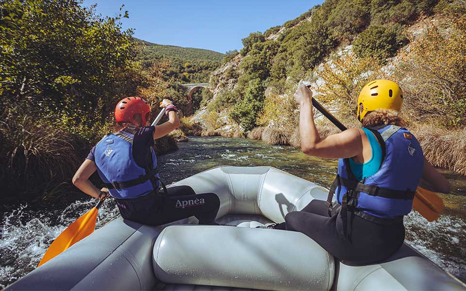
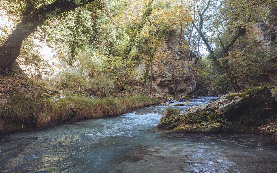
Well known for its monasteries and rafting, the Lousios Gorge in mountainous Arcadia is also a wonderful hiking destination. It is the first section of the Mainalon trail, a 75-km certified route that ends in Lagkadia and takes five days to complete. This easy hiking route connecting Dimitsana with Stemnitsa and Ancient Gortyna is one of the most beautiful in Greece. The Lousios River springs from Aghia Paraskevi (Kaloneri) and Thisoa. After about 25 km, it joins the Alphios River outside Karytaina.

© Nikos Boutsikos/Nidibou Photography
The gorge is about 15 kilometers long and best accessed from the Open-Air Water Power Museum in Dimitsana or the New Monastery of Philosophou. Initially descending, you will come across the historic Old Monastery of Philosophou, followed by the Monastery of Prodromos as you ascend towards the eastern walls. From there, you can exit the gorge towards Stemnitsa; however, it is worthwhile to continue to Ancient Gortynia (total time: 4-5 hours), the little-known but beautiful archaeological site of an Asclepieion, which is next to the Polygenes stone bridge. A small beach has formed here, where you can enjoy a refreshing dip into the icy waters.
Make sure to plan your return to the starting point; there are plenty of taxis available. If you prefer a guided tour, you’ll find several outdoor activity companies and individual mountain guides.

© Shutterstock
Vouraikos: Hiking alongside the Rack Railway in Achaia
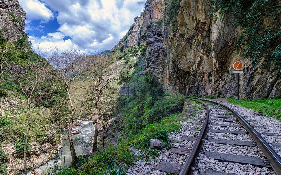
It’s not a myth: the Vouraikos Gorge offers one of the most beautiful experiences one can have in Greek nature, because besides the stunning landscape, it includes a journey with the Odontotos rack railway, which connects Kalavryta with Diakopto and can be used to return to the hike’s starting point.
The Vouraikos River flows between the Erymanthos and Helmos mountains, and the gorge it forms spans 15 kilometers between Helmos and Panahaiko. Walking along the railway tracks, on the marked trail that is part of the E4 European path, you will see the tunnels and bridges of this magnificent engineering feat completed in 1896. The breathtaking landscape, which is a part of the UNESCO Helmos-Vouraikos Geopark, is made up of waterfalls and rushing waters, caverns, striking cliffs, and lush vegetation. The easiest way to cross it is from high to low, with most people starting in Zahlorou to take advantage of the downhill route. Allow around 6 hours, depending on the number of stops.
Book your train tickets online, as they sell out early. If you need a guide, contact Trekking Hellas Ahaia, Tel. (+30) 694.201.0853


